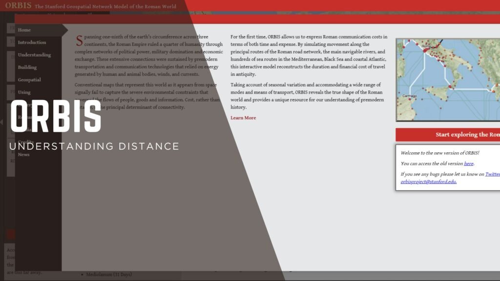
Understanding Distance in Ancient Rome: ORBIS
Distance is a funny thing; understanding distance is even harder. What’s a “far” distance? How far away is something? Do you measure that in miles or time to get there?
And America is more comfortable with longer distances than other places. I have to go more than 10 miles for groceries.
But with all that, when we’re reading about antiquity, sometimes it’s really hard to keep in mind just how big those distances were. Especially without cars and planes.
How could teeny, tiny Rome rule places that were months away from contact?
Orbis is a comprehensive (fun) tool to get these places and distances in mind.
Who it's For:
There is a lot of potential in this site. Any researcher, especially historians, can benefit from using this to get a reality check. Historical fiction writers, too! What a way to get inspired by some real travel struggles! Also a fun, interactive tool for younger learners. It probably won’t be something that’s a use-every-day and study tool, but it’s worth having on tap.
You never know when you want to know how long it would take a military expedition to walk to London.
Cost:
Free!
In Detail:
Understanding Distance and Route
How do I get from one place to another?
Explore different routes in antiquity, which is not just distance but travel (donkey? walking? ships?), related costs, and terrain.
I’m not sure I’d ever leave Rome.
Understanding Distance and Network
What places are near or far to others? What’s the “network” for certain towns?
You can explore the Network feature to see which places are the same relative travel time as others. That sort of insight can help identify cultural bubbles.
Understanding Distance and Flow
On the other hand, what’s the closest way to get to or from somewhere. Flow shows the shortest length between places, looking at the major veins around the Empire.
Rating:
Trajan/Augustus
This is a fun, solid, well-made website.
Ad scientiam, Magistra